Map Functions
START FREE TRIAL
One Month Free

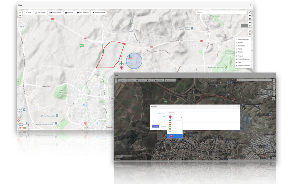
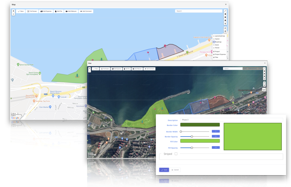
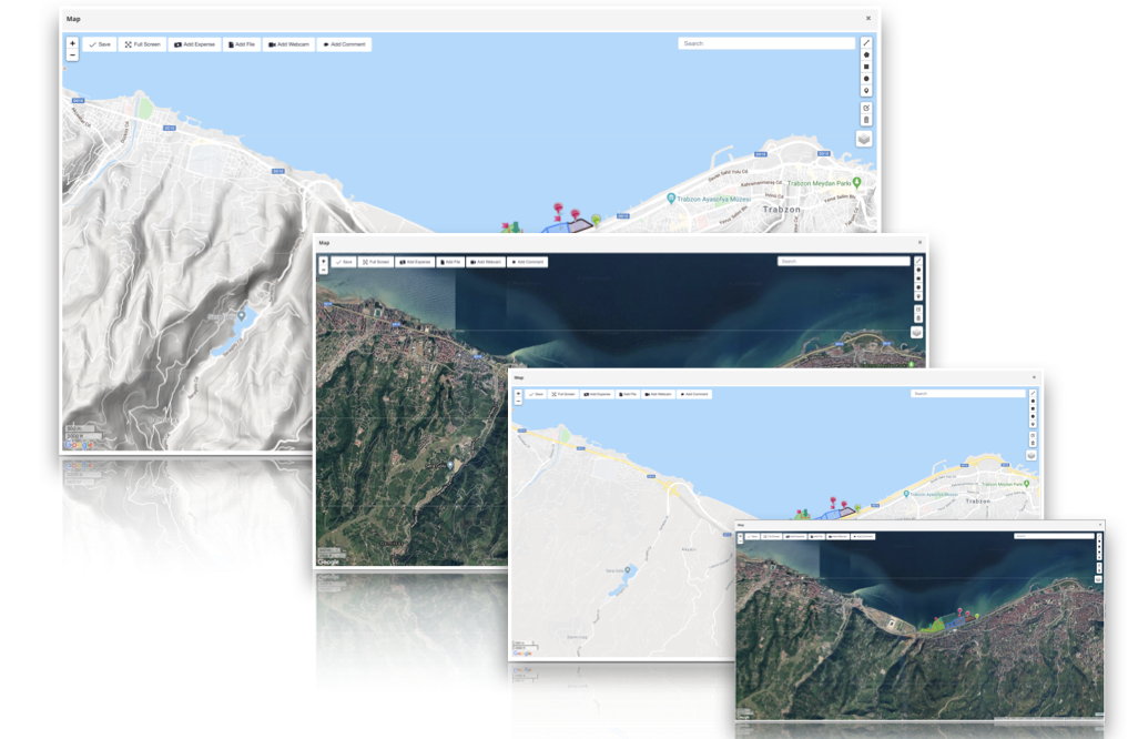
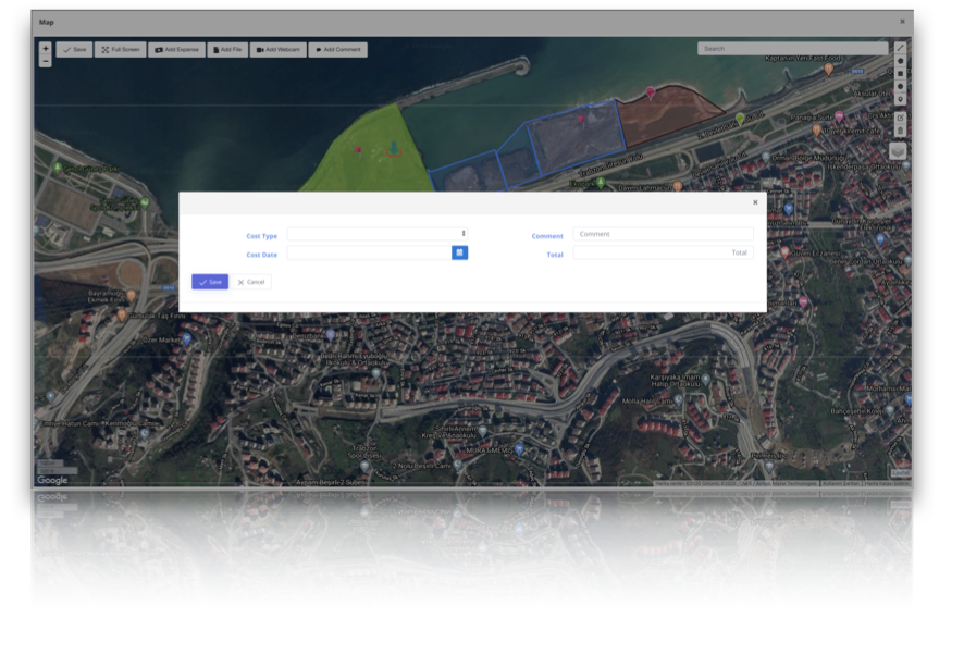
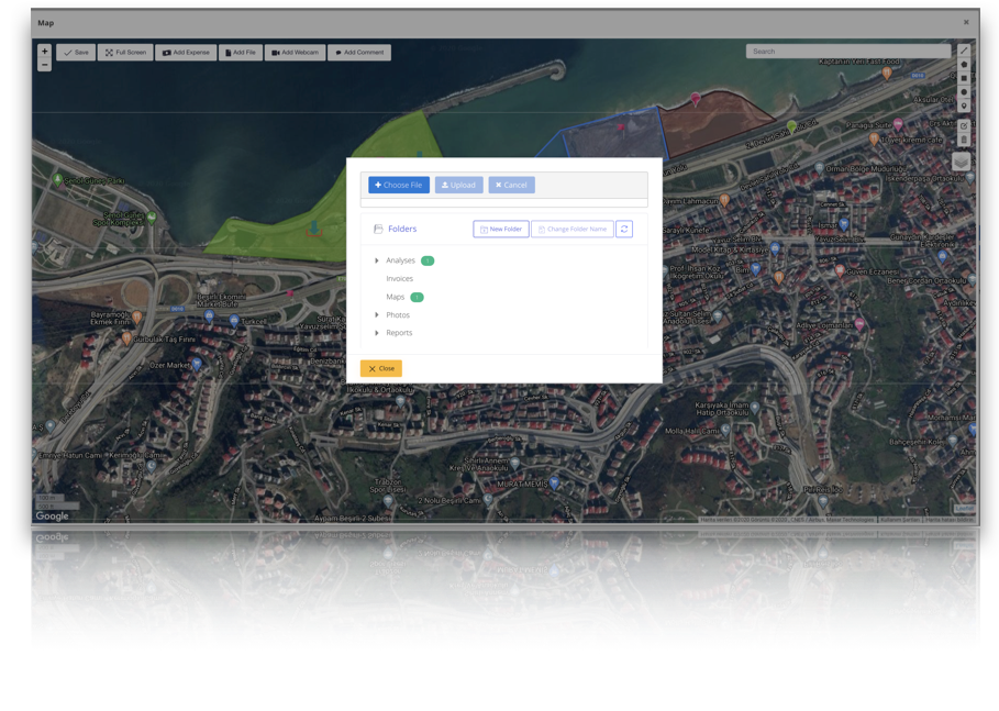
GIS Tools
All necessary GIS tools to define and manage spatial data of your projects

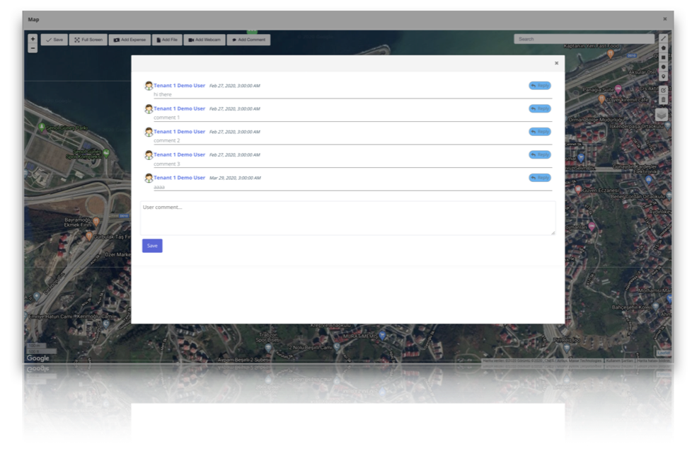
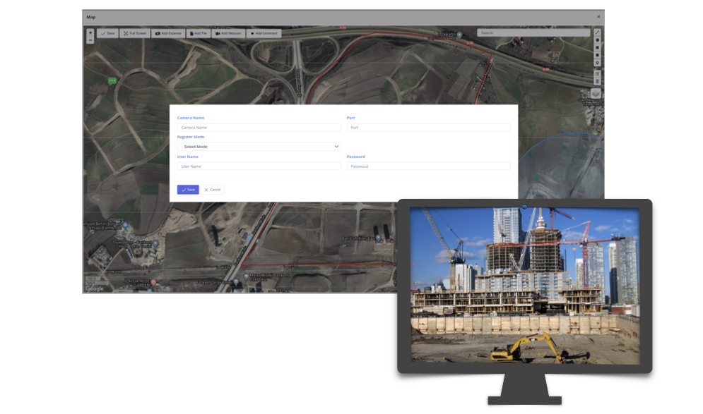
Location Oriented
You can relate all other project data with their locations