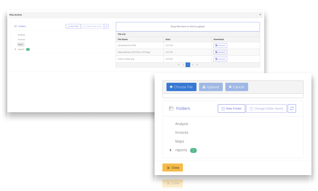
Archiving
START FREE TRIAL
One Month Free

Archive Management
Save all your project files without needing another archiving system

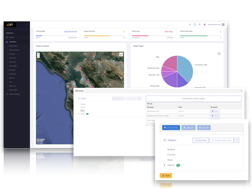
GeoSmart Archiving
Relate your document with location and display on map